The City of Lahti produces a diverse selection of map material in online and printed forms for various purposes. You can also order various theme and custom maps for your own needs. You can find the price list of map products and instructions for ordering at the bottom of the page. Map products are primarily ordered by email.
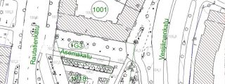
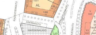
Planning base map (base map and up-to-date cityplan)
The base map is used as a basis for planning and municipal technology related plans. Subjects featured on the base map include real estate information, buildings and structures, traffic routes, various terrain subjects, altitude information and nomenclature.
The up-to-date city plan is a combination of legally valid city plans.
We deliver the base map mainly in dwg format.
Building permit map package
You need a building permit package when you apply for a building permit for a new building. The map package contains the material needed for construction planning and the building permit. The package contains a base map and city plan in pdf and dwg format, soil survey information (if available) and cable and pipe information. The material is valid for 3 months.
Plot package
If you have reserved a plot from the city and paid the plot reservation fee, you can order the plot package included in the reservation fee free of charge. The package contains the material needed for planning the construction and the building permit.
Real estate agent’s map package
The real estate agent’s map package contains an extract from the up-to-date city plan, plan regulations and an extract from the basic map. The material is delivered in pdf format.
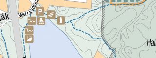
Guide map
The Lahti region guide map covers the area of five cities/municipalities (Asikkala, Hollola, Kärkölä, Lahti, Orimattila).
Orthoimages
Orthoimages can be used as the basis for various plans together with the base map, for example. There are images from individual years between 1946 and 2019.

Theme maps
On theme maps, certain themes or subjects are highlighted in comparison to the other contents of the map. Theme maps are usually based on guide and office maps, but the descriptions and scales vary depending on the purpose. We produce theme maps for the City’s own needs and, when commissioned, to external customers.