The City of Lahti map service provides an extensive package of map and geographical information materials. We aspire to constantly develop the service’s data content with new materials.
Lahti Map Service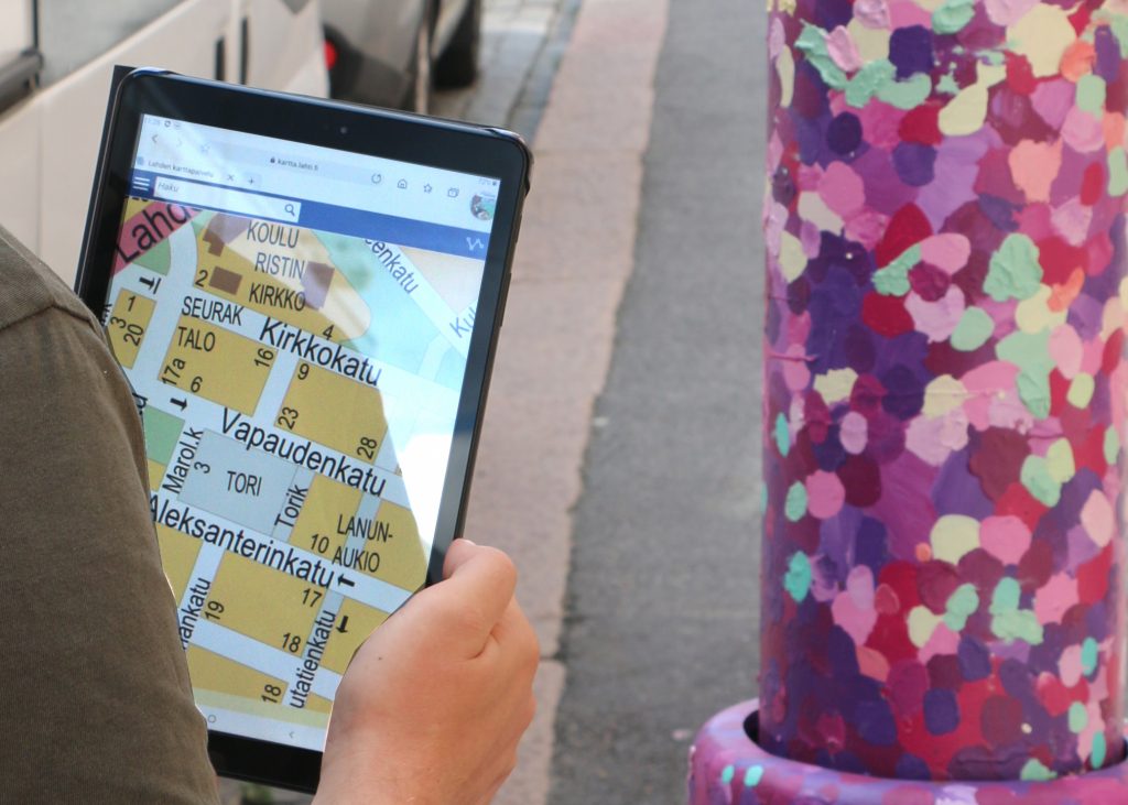
Online map service
The service provides up-to-date base maps, such as guide maps and true-to-size orthoimages from different years, as well as soil and city plan maps.
In the service, you can examine information about plans, parks and traffic, among other things. To facilitate the searching of data, the materials are compiled under different categories. Information related to one category, for example leisure time or environment, can be found under one title. Currently, there are around 80 levels of material in total.
There are tools in the upper right corner of the map view that are handy for creating your own map presentations, measuring distances and printing the map. You can also save your map presentation in the service with a free registration. Map views can be created also without registration, but they cannot be saved in that case. In the service, you can also create a map link that you can share via email and social media, for example.
In the map view, you can also create a map that you can embed to your own website. In this case, the functionalities and materials of the map service can be accessed through your own website.
You can find more detailed operating instructions for the map service by clicking the i-icon on the left side of the map service’s browser window.